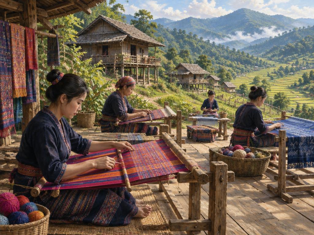
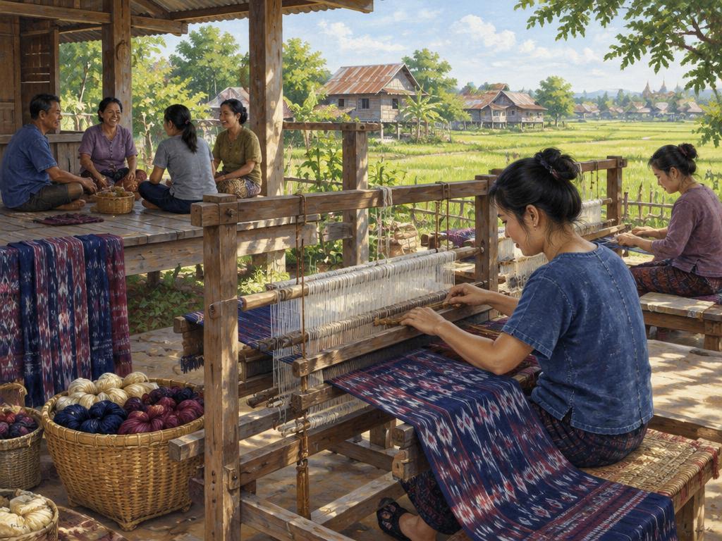
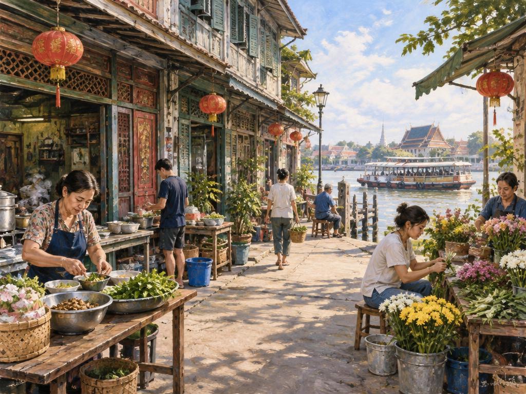
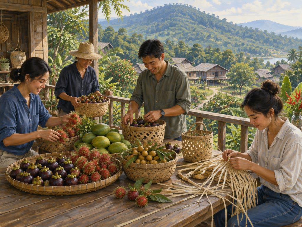
From mountain communities to coastal villages: the landscapes, people and traditions behind your journey.
A country of many landscapes and traditions
Thailand lies in mainland Southeast Asia, bordering Myanmar, Laos, Cambodia and Malaysia. Its coasts face the Andaman Sea and the Gulf of Thailand. Bangkok is the capital; Thai is the official language, alongside many regional and community languages.
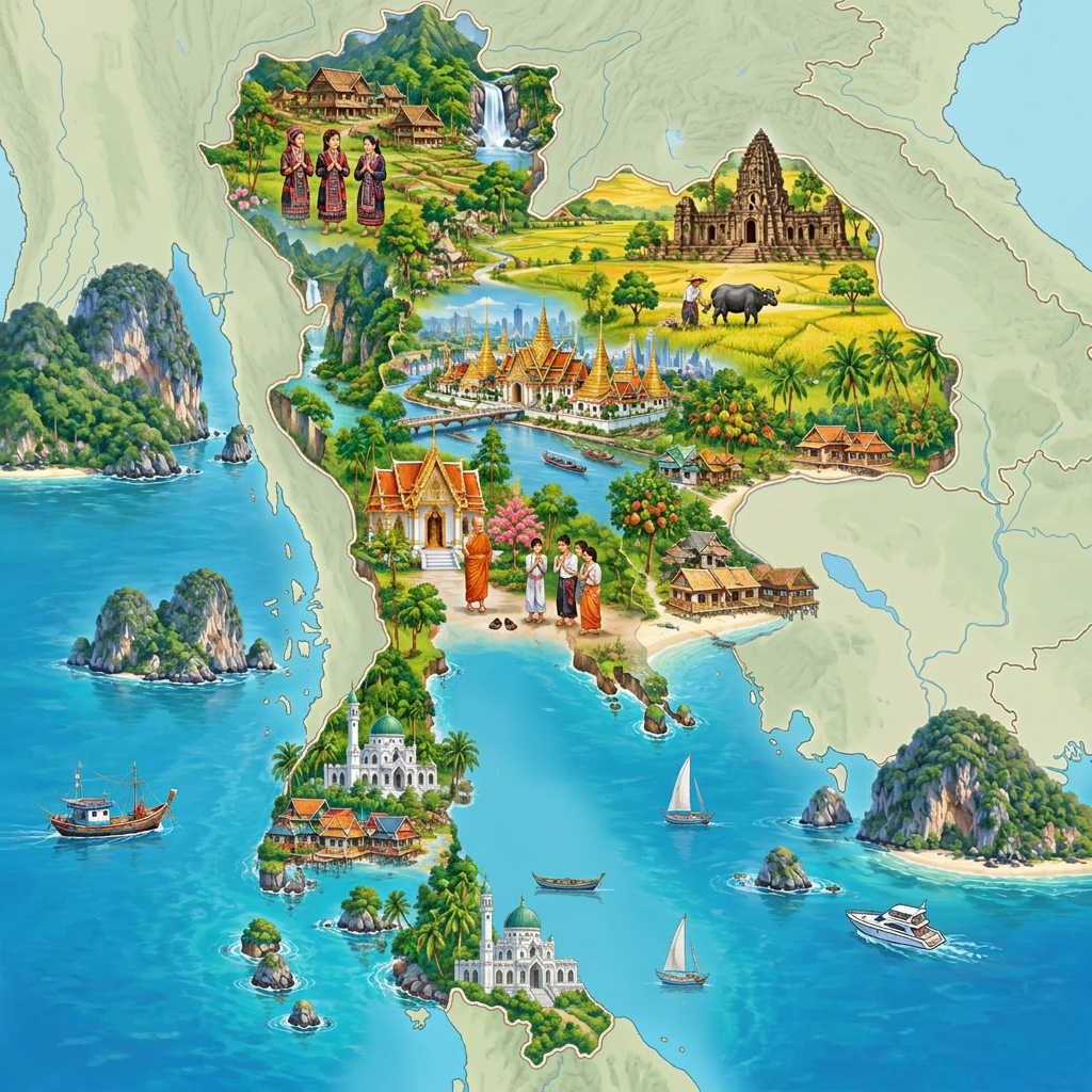
Cultural illustration — scenes are symbolic, not exact community locations or provincial boundaries.
Landscape, provinces & regions
Thailand has 76 provinces and Bangkok, a special administrative area — 77 province-level units in total. Provinces are divided into districts and smaller local units. Provincial names can also refer to their main towns, so a province-wide attraction may be far from the city centre.
There is no single regional grouping for every purpose. This map uses a common six-region geographical scheme, separating the Northeast (Isan) and West. Our holiday directory uses five travel groups: North, West, Central, East and South, with Isan included in East; some destinations are therefore grouped differently there.
76 provinces + Bangkok special administrative area
Boundaries: geoBoundaries / OpenStreetMap / Wambacher, 2017. Regional colours follow the six-region geographical convention; not a navigation map. Source · ODbL 1.0 · Boundary data
North
Mountain ranges, forested valleys and river headwaters. Chiang Mai and Chiang Rai are familiar gateways, but northern landscapes and communities are diverse.
9 provinces
Chiang Mai
Chiang Rai
Lampang
Lamphun
Mae Hong Son
Nan
Phayao
Phrae
Uttaradit
Northeast (Isan)
The Khorat Plateau, rice fields and the Mekong borderlands. Lao-influenced language and food, Khmer heritage and local silk traditions are important parts of life here.
20 provinces
Amnat Charoen
Bueng Kan
Buri Ram
Chaiyaphum
Kalasin
Khon Kaen
Loei
Maha Sarakham
Mukdahan
Nakhon Phanom
Nakhon Ratchasima
Nong Bua Lam Phu
Nong Khai
Roi Et
Sakon Nakhon
Si Sa Ket
Surin
Ubon Ratchathani
Udon Thani
Yasothon
Central
The Chao Phraya basin and fertile plains support rice farming, historic capitals and Bangkok. This geographical grouping also includes upper-central provinces such as Sukhothai.
21 provinces + Bangkok
Ang Thong
Bangkok (special area)
Chai Nat
Kamphaeng Phet
Lopburi
Nakhon Nayok
Nakhon Pathom
Nakhon Sawan
Nonthaburi
Pathum Thani
Phetchabun
Phichit
Phitsanulok
Phra Nakhon Si Ayutthaya
Samut Prakan
Samut Sakhon
Samut Songkhram
Saraburi
Sing Buri
Sukhothai
Suphan Buri
Uthai Thani
East
Orchards, forested hills, industry and the eastern Gulf coast. Offshore islands include Koh Chang and Koh Samet; the Cambodian frontier lies inland.
7 provinces
Chachoengsao
Chanthaburi
Chon Buri
Prachin Buri
Rayong
Sa Kaeo
Trat
West
Mountain ridges near Myanmar, river valleys, limestone caves and national parks. The region extends to the Gulf coast around Hua Hin and Prachuap Khiri Khan.
5 provinces
Kanchanaburi
Phetchaburi
Prachuap Khiri Khan
Ratchaburi
Tak
South
A long peninsula between the Andaman Sea and the Gulf of Thailand, with rainforest, limestone formations, plantations, fishing communities and islands. The two coasts have different seasonal weather patterns.
14 provinces
Chumphon
Krabi
Nakhon Si Thammarat
Narathiwat
Pattani
Phang Nga
Phatthalung
Phuket
Ranong
Satun
Songkhla
Surat Thani
Trang
Yala
Tourism illustration — symbolic regional landscape, not an exact location.
North · Mountains, valleys & river headwaters
Northern Thailand is a landscape of mountain ridges, forested slopes and fertile valleys. Rice fields, orchards and villages occupy the lower ground, while higher elevations include cooler forests and misty peaks. Around Chiang Mai, Chiang Rai and Mae Hong Son, winding roads connect river valleys and highland communities. The Ping, Wang, Yom and Nan rivers flow south towards the Chao Phraya system.
Doi Inthanon near Chiang Mai offers high-elevation forest and waterfalls; Mae Hong Son and Pai reveal mountain valleys, caves and viewpoints. Conditions vary with elevation: cool dry-season mornings contrast with greener, wetter monsoon months, and seasonal smoke can reduce visibility and air quality.
Tourism illustration — symbolic regional landscape, not an exact location.
West · Forested border ranges, rivers & limestone
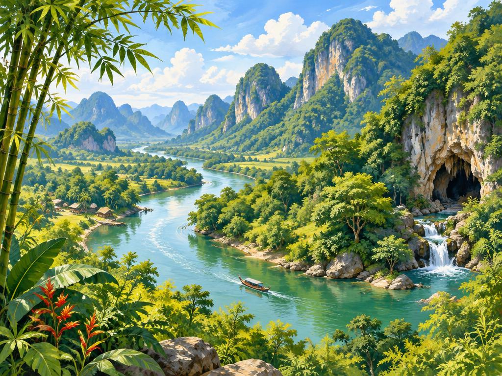
Along the Myanmar border, western Thailand has rugged mountain ranges, extensive forests and river valleys. Limestone areas form caves, cliffs and waterfalls, while reservoirs and farmland occupy some of the lower ground. Tak and Kanchanaburi are gateways to these inland landscapes. Farther south, the region reaches the Gulf coast in Phetchaburi and Prachuap Khiri Khan, so western Thailand is not only mountains.
Explore waterfalls around Erawan National Park, forest landscapes in Kaeng Krachan National Park, and limestone peaks and coastal wetlands in Khao Sam Roi Yot National Park near Hua Hin. These places are spread over a large region; mountain journeys take time, and heavy rain can affect trails and waterfall access.
Tourism illustration — symbolic regional landscape, not an exact location.
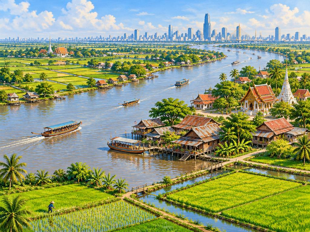
Central · Rice plains, waterways & the capital
The Chao Phraya basin forms Thailand’s central lowlands: broad river plains, rice fields, irrigation canals and riverside settlements. Ayutthaya stands among waterways north of Bangkok, while the capital stretches towards the upper Gulf. Near the river mouth, mangroves, tidal channels and coastal communities replace the inland farmland. This geographical region also includes uplands farther north, so not every central province is flat.
Ayutthaya combines river scenery with historic ruins; Suphan Buri offers agricultural plains, and Samut Songkhram is known for canals, orchards and estuary landscapes. Bangkok shows the urban side of the same river system. Water levels change seasonally, and low-lying areas can flood during periods of heavy rainfall.
Tourism illustration — symbolic regional landscape, not an exact location.
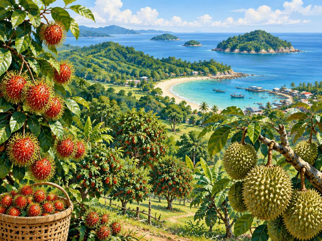
East · Orchards, forested hills & Gulf islands
Eastern Thailand stretches from plains east of Bangkok to forested uplands and the Cambodian frontier. Chanthaburi and nearby areas have tropical fruit orchards, while the Gulf coast around Chon Buri, Rayong and Trat includes fishing communities, beaches, ports and developed resort towns. Offshore, Koh Samet and Koh Chang show different island landscapes: smaller sandy bays on one, mountainous forest and waterfalls on the other.
Rayong offers coastal beaches and access to Koh Samet; Chanthaburi combines orchard country with forested hills, and Trat is a gateway to Koh Chang. Inland parks and waterfalls provide alternatives to the coast. The region mixes agriculture, industry and tourism, and island crossings depend on sea conditions.
Tourism illustration — symbolic regional landscape, not an exact location.
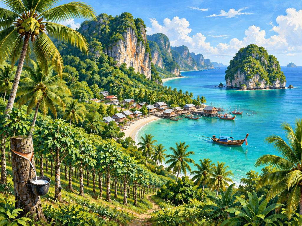
South · Two coasts, rainforest & island landscapes
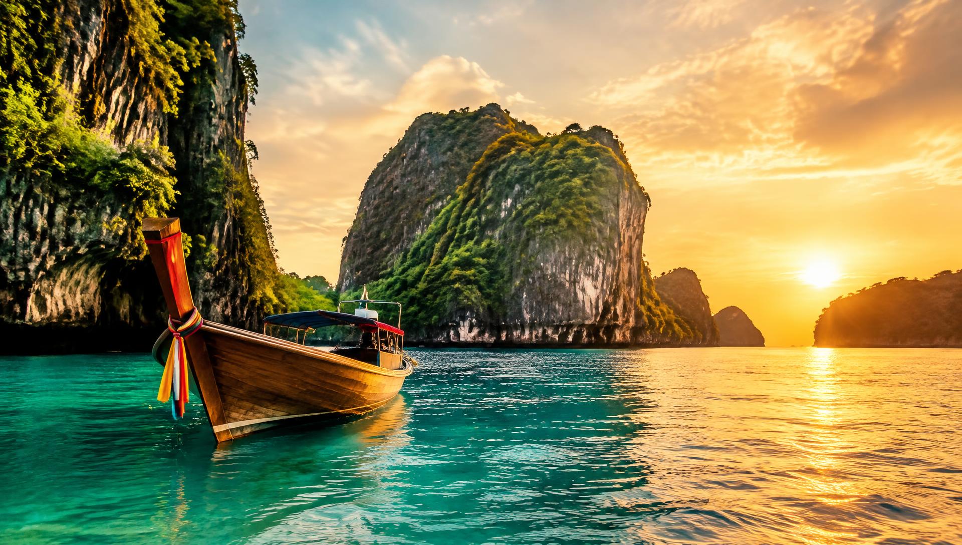
Southern Thailand occupies a long peninsula between the Andaman Sea to the west and the Gulf of Thailand to the east. Inland, rainforest-covered hills, limestone formations, rubber plantations and farming villages separate the two coasts. Along the shore are mangroves, estuaries, fishing settlements and beaches. Islands vary widely, from mountainous Phuket and Samui to small coral-fringed islands and dramatic limestone outcrops.
Krabi and Phang Nga are known for limestone coasts; Khao Sok in Surat Thani offers inland rainforest and reservoir scenery. Trang has coastal wetlands and islands, while the Gulf side includes Samui and quieter mainland shores. The coasts have different rainfall patterns: Andaman seas are often rougher during the southwest monsoon, while parts of the southern Gulf receive heavy rain later in the year.
Tourism illustration — symbolic regional landscape, not an exact location.
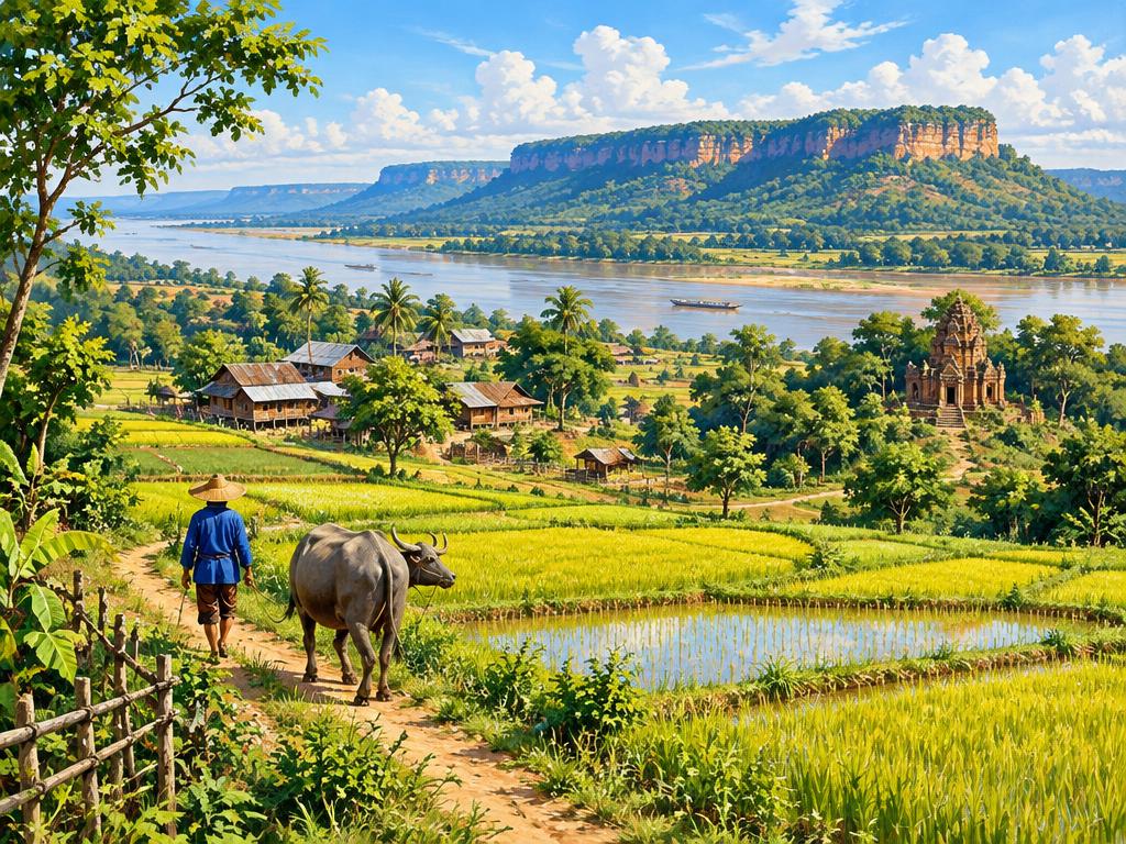
Northeast (Isan) · Plateau, sandstone & the Mekong
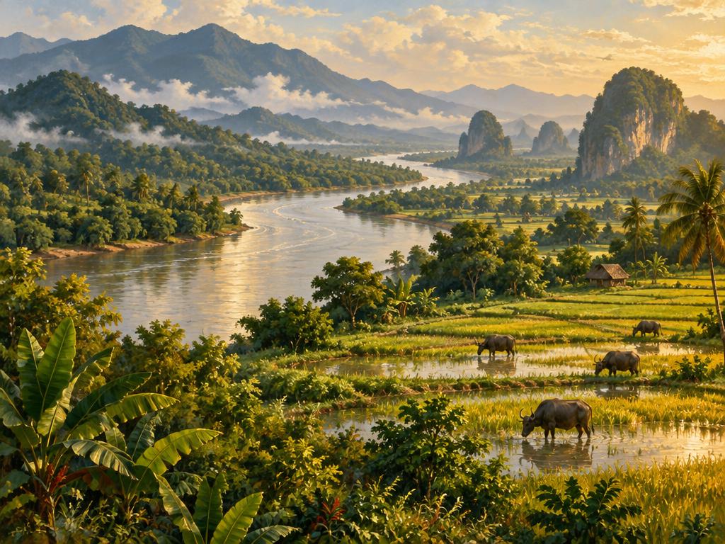
The Northeast occupies much of the Khorat Plateau, with gently rolling farmland, rice fields and towns connected by broad river valleys. Sandstone escarpments and wooded uplands break up the plains, while the Mekong forms stretches of the border with Laos. Landscapes change with the seasons: fields become green during the rains, and the dry season exposes riverbanks and some rock formations.
Nong Khai offers Mekong riverside scenery, and Ubon Ratchathani provides access to Pha Taem’s sandstone cliffs and the seasonally exposed rocks of Sam Pan Bok. Nakhon Ratchasima is a gateway to the forested uplands of Khao Yai. Isan is shown separately here because this map uses six geographical regions; the holiday directory groups its destinations under East.
Water, forests & the monsoon
Northern rivers feed the Chao Phraya system; the Mekong forms stretches of the northeastern border. Forests, wetlands and coastal ecosystems support rich wildlife, but land use and conservation pressures vary. Thailand is tropical: rain and sea conditions differ by region and coast. Mountain areas can be cool in the dry season. For typical weather and seasonal festivals, see the trip planner on our where-to-go page.
Thailand is not one uniform culture. Central Thai, northern Tai traditions, Isan’s Lao-influenced heritage, Thai-Chinese communities, Malay communities and many other peoples contribute to contemporary life. Identity, language and religion overlap in different ways; appearance or clothing does not tell you someone’s background.
Ethnic heritage: connections across generations
Heritage includes languages, family memories, food, music, crafts, beliefs and connections to places. Today’s Thailand was shaped by Tai kingdoms, older Mon and Khmer cultures, Chinese migration, Malay trading networks and many other histories. “Thai” can describe nationality, while “Tai” is a broader ethnolinguistic term; neither means that everyone shares one ancestry. Many Thai citizens also identify with a regional or ethnic community.
People move, marry across communities and speak several languages. Ethnic identity is not the same as citizenship or religion, and communities are not frozen in the past. Some Indigenous and minority communities face pressures involving land, language continuity or access to citizenship; residents’ rights and choices matter more than a visitor’s expectations.
Ethnic distribution: a six-region overview
North, Northeast (Isan), Central, East, West and South give the clearest overview here. Isan is separate because of its strong Lao-related heritage; these are the same six geographical regions used on the province map above, not the five holiday groups. The examples describe broad, overlapping associations — not exclusive territories, a complete list or population percentages. Communities also live outside these regions, especially in cities.
Cultural illustration — symbolic daily-life scene, not a photograph of a named ethnic community.
North
Communities & connections
Northern Thai (Khon Mueang), other Tai communities, Karen, Hmong, Akha, Lahu, Lisu and Mien, among others.
Where communities are found
Northern Thai language and Lanna heritage are especially associated with valleys and towns around Chiang Mai, Lamphun, Lampang and Chiang Rai. Highland communities live across provinces including Chiang Mai, Chiang Rai and Mae Hong Son, as well as in towns and cities; Karen communities also extend into the West.
Living heritage
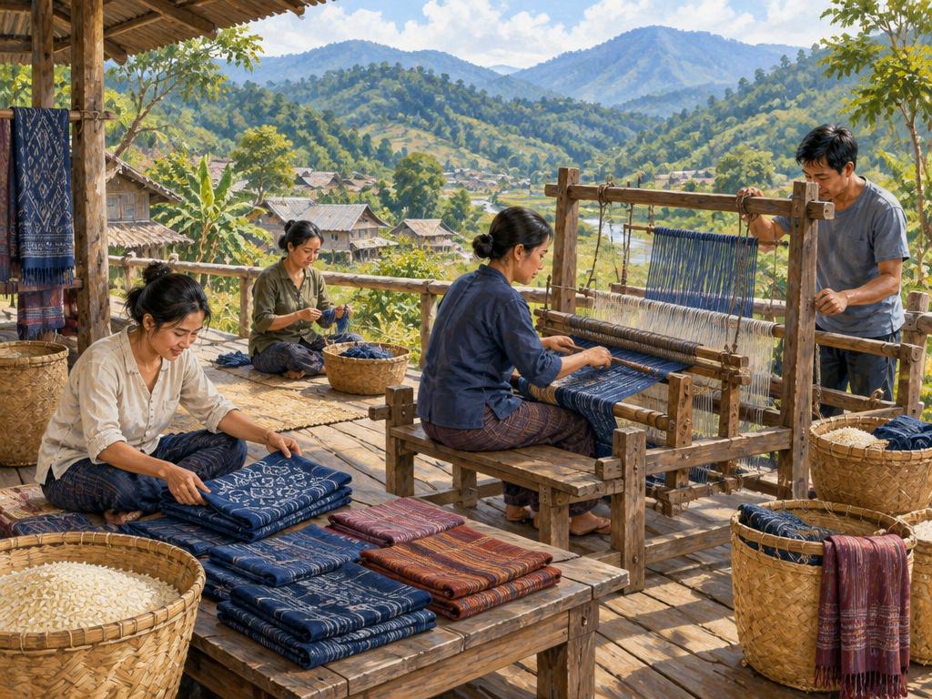
The historic Lanna kingdom shaped northern temple architecture, literature, music and regional speech. Highland peoples have distinct languages and family histories, with varied weaving, farming, oral storytelling and spiritual traditions. These differ within each community and continue alongside education, modern employment and urban life.
Cultural illustration — symbolic daily-life scene, not a photograph of a named ethnic community.
Northeast (Isan)
Communities & connections
Isan people with Lao-related language and heritage, Northern Khmer, Kuy, Phu Thai and other communities.
Where communities are found
Lao-related Isan speech is widespread across the Northeast. Northern Khmer communities are particularly associated with southern Isan, including Surin, Buri Ram and Si Sa Ket. Kuy communities also live in this area; Phu Thai communities are found in parts of the northeast, including Sakon Nakhon, Nakhon Phanom, Mukdahan and Kalasin.
Living heritage
Mekong connections, rice-growing traditions, mor lam music, the khaen mouth organ and patterned mudmee textiles are prominent parts of regional heritage. Khmer and Kuy languages and traditions add distinct strands. Ancient Khmer monuments tell a regional history, but do not identify the ethnicity of everyone living nearby today.
Cultural illustration — symbolic daily-life scene, not a photograph of a named ethnic community.
Central
Communities & connections
Central Thai, Thai Chinese, Mon, long-established Muslim communities and people from across Thailand and beyond.
Where communities are found
Central Thai language and cultural traditions are associated with the Chao Phraya plains. Bangkok and neighbouring towns are highly mixed: Thai Chinese heritage is visible in commercial neighbourhoods, while Mon communities have long connections with places such as Pathum Thani and Nonthaburi. Chinese ancestry and Mon communities are not limited to this region.
Living heritage
Ayutthaya and Bangkok grew through river trade and migration. Thai Chinese heritage includes family associations, ancestor remembrance, shrines and food traditions; Mon communities maintain distinctive language, temple and festival traditions. Intermarriage and changing generations mean that people may hold several identities at once.
Cultural illustration — symbolic daily-life scene, not a photograph of a named ethnic community.
East
Communities & connections
Thai, Thai Chinese, Chong, Khmer and other communities, alongside newer residents drawn by industry and tourism.
Where communities are found
The eastern Gulf cities and industrial areas have mixed populations. Chong communities, whose language belongs to the Pearic branch of the Austroasiatic family, are particularly associated with inland Chanthaburi. Khmer-speaking communities and cross-border family connections are also present near the Cambodian frontier.
Living heritage
Port trade, orchards and movement across the frontier have shaped eastern life. Chanthaburi combines Chinese trading heritage with Chong language and local knowledge, while Khmer connections form another strand. Smaller community languages face pressures from dominant languages; community-led teaching and cultural work help sustain them.
Cultural illustration — symbolic daily-life scene, not a photograph of a named ethnic community.
West
Communities & connections
Karen, Mon, Thai and several Lao/Tai-speaking communities, with longstanding ties across the Myanmar border.
Where communities are found
Karen communities live in forested border districts from Tak through Kanchanaburi and farther south. Mon communities are associated with places including Sangkhlaburi in Kanchanaburi and parts of Ratchaburi, as well as Central Thailand. Western provinces also contain diverse lowland communities rather than one uniform border culture.
Living heritage
Migration, border trade and river valleys connect the West to neighbouring lands. Karen communities have distinct languages, textiles, agricultural knowledge and varied Buddhist, Christian and other spiritual traditions. Mon heritage includes language, Buddhist temple life and festivals. Neither group is defined by a single religion or livelihood.
Cultural illustration — symbolic daily-life scene, not a photograph of a named ethnic community.
South
Communities & connections
Southern Thai, Malay, Thai Chinese, Moken, Moklen and Urak Lawoi, among other communities.
Where communities are found
Southern Thai communities live across the peninsula. Malay-speaking communities are especially associated with Pattani, Yala, Narathiwat and parts of Songkhla, with Malay heritage elsewhere too. Thai Chinese heritage is prominent in towns such as Phuket and Trang. Moken, Moklen and Urak Lawoi communities have distinct connections to the Andaman coast and islands.
Living heritage
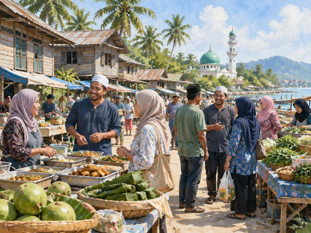
Peninsular trade connects southern heritage with the Malay world and Chinese maritime networks. Southern Thai traditions include Nora dance and shadow puppetry; Malay heritage includes language, food, crafts and, for many families, Islamic learning. Andaman communities maintain different languages, coastal knowledge and histories. Malay identity and Muslim faith are related for many people, but are not interchangeable.
A closer look: highlands & the Andaman coast
Tourism illustration
Northern & western highland communities
Karen, Hmong, Akha, Lahu, Lisu and Mien are among the many ethnic communities living in northern and western Thailand. Each has its own languages, histories and traditions, and there is diversity within every group. The tourist label “hill tribes” is broad and can obscure these differences; use a community’s own name when known.
People live in rural villages, towns and cities, combining contemporary livelihoods with traditions such as weaving, farming or festivals. Choose locally led visits around Chiang Mai, Chiang Rai or Mae Hong Son; check that residents welcome visitors and benefit from the activity.
Tourism illustration
Andaman coastal communities
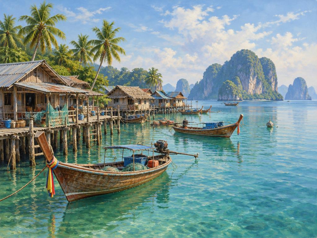
Moken, Moklen and Urak Lawoi are distinct communities with long connections to the Andaman coast and islands. They are sometimes grouped under Chao Ley, meaning “sea people.” The older label “sea gypsies” can be stigmatizing and is best avoided. Their languages, settlement histories and livelihoods are not interchangeable.
Moken communities are associated with places including the Surin Islands, Moklen with mainland coastal areas of Phang Nga and Phuket, and Urak Lawoi with islands including Lanta and Lipe. These are examples, not exclusive territories. Respect private homes, sacred sites and local decisions about photography or visits.
In the far South, Malay-speaking Muslim communities are an important part of local society, alongside Buddhist and other communities. Learn a greeting, ask rather than assume, and recognise that traditions change across generations.
Religion & beliefs
Tourism illustration
Buddhist traditions
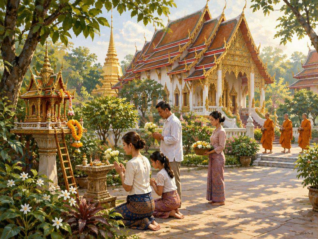
Theravada Buddhism is the majority religion. Temples — wat in Thai — are places of worship, learning and community life. Merit-making, offerings and ordination play important roles for many families, though levels of observance vary.
Islam & other faiths
Islam is a significant minority faith, especially in the far South, with Muslim communities elsewhere too. Christianity, Hinduism and Sikhism are also present. Chinese temples and Mahayana Buddhist traditions reflect Thailand’s varied heritage.
Everyday spiritual life
Spirit houses, ancestor remembrance and Brahmanical ceremonies may coexist with Buddhist practice. Some ethnic communities maintain distinct spiritual traditions. Do not assume that every person follows the same beliefs or rituals.
A short history of Thailand
A brief introduction, not a complete national history. Different kingdoms, peoples and trading networks shaped the territory that became modern Thailand.
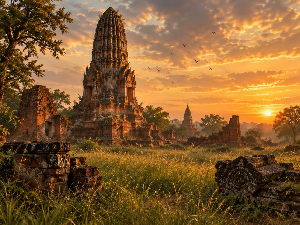
Tourism illustration — symbolic scene, not a specific monument.
Before the Thai kingdoms
Long before modern Thailand, communities traded across mainland Southeast Asia. Dvaravati, Khmer and other regional cultures left archaeological and religious heritage; today’s borders did not exist.
13th–15th centuries · Sukhothai & Lanna
Sukhothai developed as an influential Tai kingdom from the 13th century. Lanna, centred on Chiang Mai from 1296, shaped a distinct northern heritage. Neither alone represents all of Thailand’s early history.
1351–1767 · Ayutthaya
Ayutthaya became a powerful capital and international trading centre. Its kingdom connected merchants from Asia and Europe before the city fell to a Burmese army in 1767.
1767–1782 · Thonburi
King Taksin reunited much of the kingdom after Ayutthaya’s fall and established his capital at Thonburi, on the west bank of the Chao Phraya River.
1782 onward · Bangkok
Rama I established the Chakri dynasty and the capital on the east bank at Bangkok. In the 19th century Siam pursued reforms and diplomacy, retaining formal independence while losing territories under colonial pressure.
1932 to the present
The 1932 revolution ended absolute monarchy and introduced constitutional government. Siam was renamed Thailand in 1939, briefly reverted to Siam in 1945, and became Thailand again in 1949. Modern history includes changing governments, rapid urbanisation and tourism growth.
Customs & good behaviour
Kindness, patience and attention to local guidance matter more than performing every custom perfectly. These are general visitor guidelines, not rules shared identically by every Thai person.
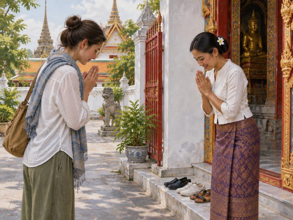
Tourism illustration
Greetings & the wai
A smile and a polite greeting are welcome. The wai brings the palms together in front of the chest; its height and use depend on context. A friendly nod is fine when unsure. Sawatdi is a common greeting; polite particles khrap and kha are often added.
Temples & sacred places
Cover shoulders and knees, remove shoes where requested and follow posted rules. Keep quiet during worship. Do not climb on Buddha images or pose disrespectfully with them. Ask before photographing ceremonies or worshippers.
Monks & religious communities
Give monks space and follow local guidance. Women should avoid touching Theravada monks or handing objects directly to them; use a designated cloth or intermediary when asked. At mosques and other places of worship, check visiting times and dress requirements.
Head, feet & personal space
Avoid touching another person’s head. Do not point your feet at people, Buddha images or sacred objects; tuck them away when sitting. Remove shoes in homes and businesses when requested, and ask before entering private spaces.
Calm, considerate behaviour
Speak calmly, avoid public shouting and be patient with differences in language or customs. Modest clothing is appropriate away from beaches; swimwear belongs at the beach or pool. Customs vary by person, place and generation.
Photography & community visits
Ask permission before photographing people, especially children. Choose community-led visits and pay fairly for guiding or crafts. Do not treat ethnic communities as attractions, enter homes without invitation or give sweets and cash to children.
National symbols & the monarchy
Treat the royal family and national symbols respectfully. Thailand has strict laws on insults to the monarchy. Follow local practice when the national or royal anthem is played, and do not step on banknotes or coins bearing royal portraits.
Food, nature & everyday care
Ask about ingredients and dietary requirements instead of assuming food is halal or vegetarian. Keep beaches and trails clean, never touch or collect coral, and choose wildlife activities without riding, performances or harmful handling.