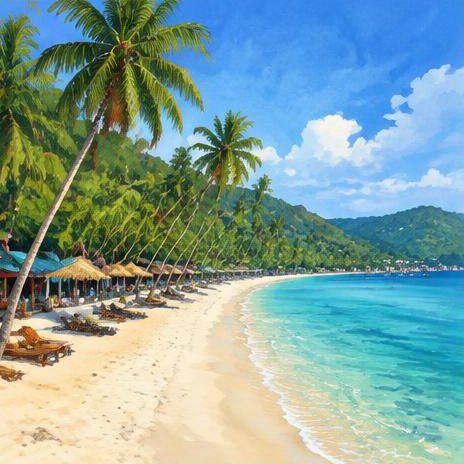
Beaches
Sairee Beach
Koh Tao
Longest beach with sunset bars.
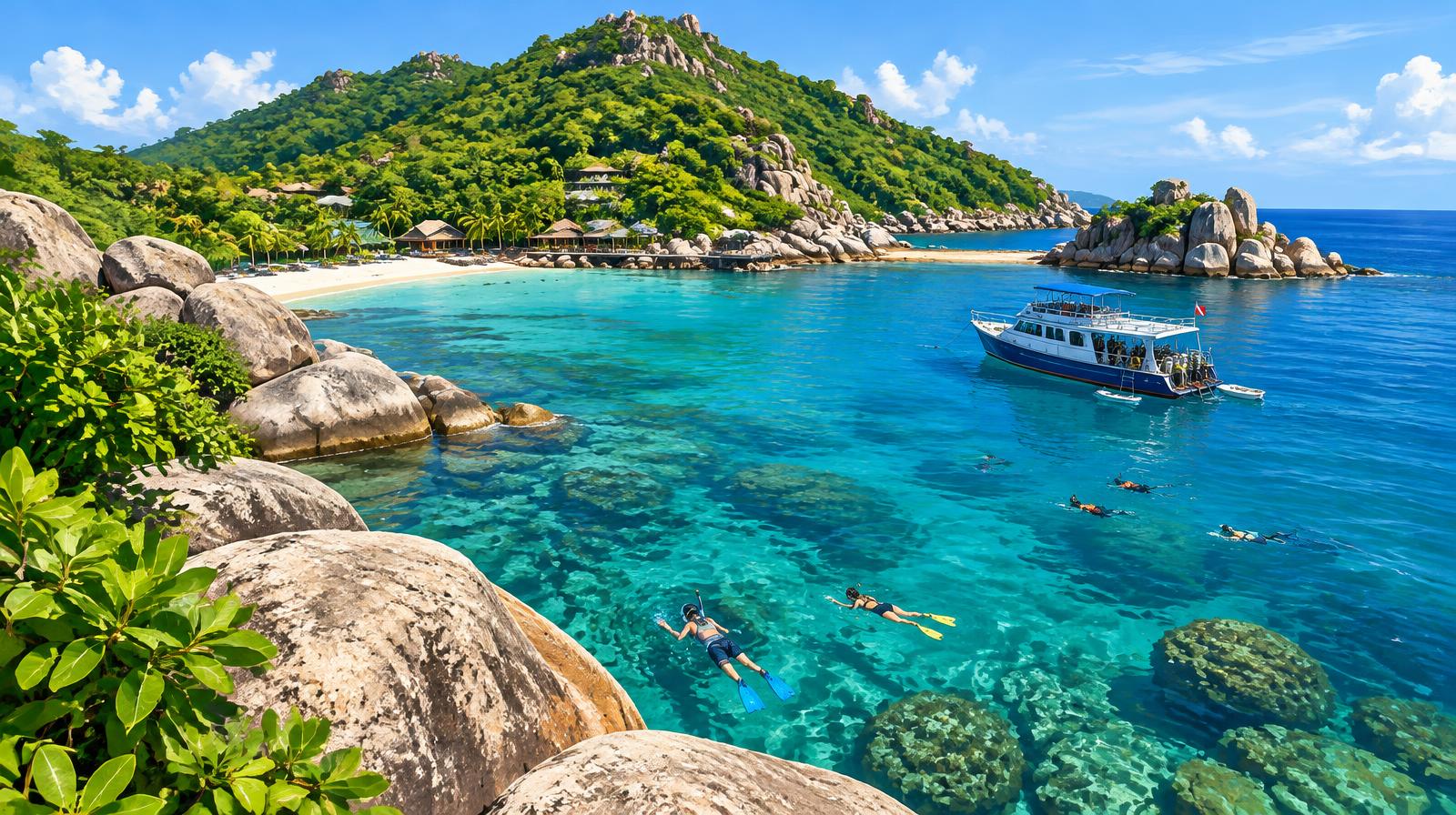
Thailand · Surat Thani · Gulf of Thailand
A small granite island known worldwide for learning to dive and snorkelling bays.
Plan your trip
Your destination guide
Koh Tao
Longest beach with sunset bars.
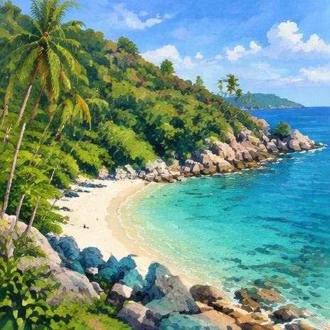
Koh Tao
Small hidden beach.
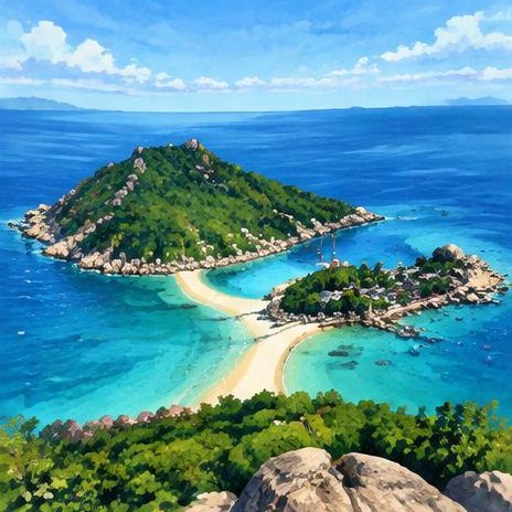
Koh Tao
Three linked islands.
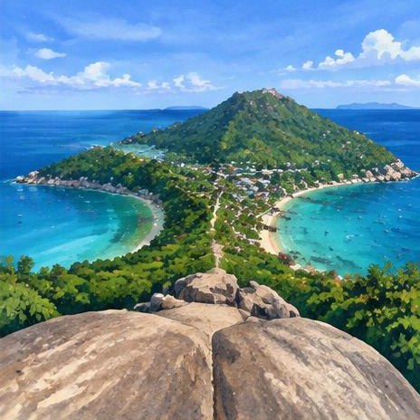
Koh Tao
Viewpoint over two bays.
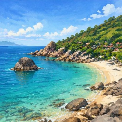
Koh Tao
Snorkelling bay.
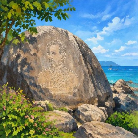
Koh Tao
Royal monogram rock.
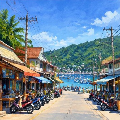
Mae Haad
Harbour village shops.
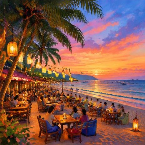
Koh Tao
Beach bars and nightlife.
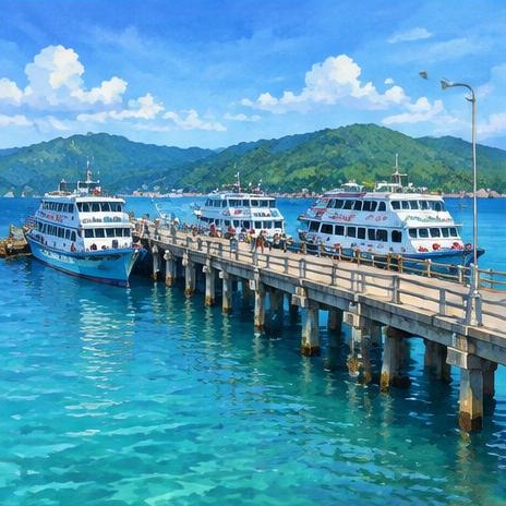
Koh Tao
Main ferry pier.
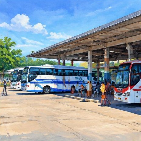
Mainland · Chumphon
Mainland terminal with VIP coaches from Bangkok; ferries continue to Koh Tao.
Loading Koh Tao map…
Map locations are approximate. Nearby excursions are labelled; check venue access, opening days and sea conditions before visiting.
Don’t miss
Three islands joined by sandbars; entrance fee.
The longest beach, with sunset bars.
A famous viewpoint over two bays.
A snorkelling bay where small reef sharks may be seen.
A rocky bay for snorkelling.
A clear-water bay.
A small hidden beach.
Many dive schools; check safety and reviews.
A deep offshore dive site.
A quiet bay in the north.
Heritage & traditions
The name “Koh Tao” means Turtle Island.
A rock with a royal monogram from an 1899 visit.
Local coral restoration groups.
The island’s Buddhist temple.
The busy harbour village.
The island’s main village with shops.
Local curries and seafood.
Small fishing communities.
Classes in island schools.
Local Thai boxing training.
Koh Tao is about 21 km² of granite hills and bays north of Koh Phangan.
Best diving from March to September; heavier rain from October to December.
Once a political prison island, Koh Tao grew as a fishing and coconut island before diving.
Do not touch or stand on coral, use reef-safe sunscreen and take rubbish back with you.
Sairee Beach has sunset bars and fire shows.
International and Thai food in Sairee and Mae Haad.
Ferries from Chumphon (about 1.5–2 hours), Koh Phangan and Koh Samui. Joint bus-and-boat tickets come from Bangkok.
Taxis and scooters; roads are steep and rough.