Attractions
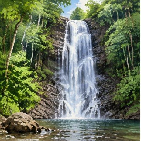
Klong Plu Waterfall
Koh Chang
Forest waterfall reached on foot; conditions and access depend on weather.
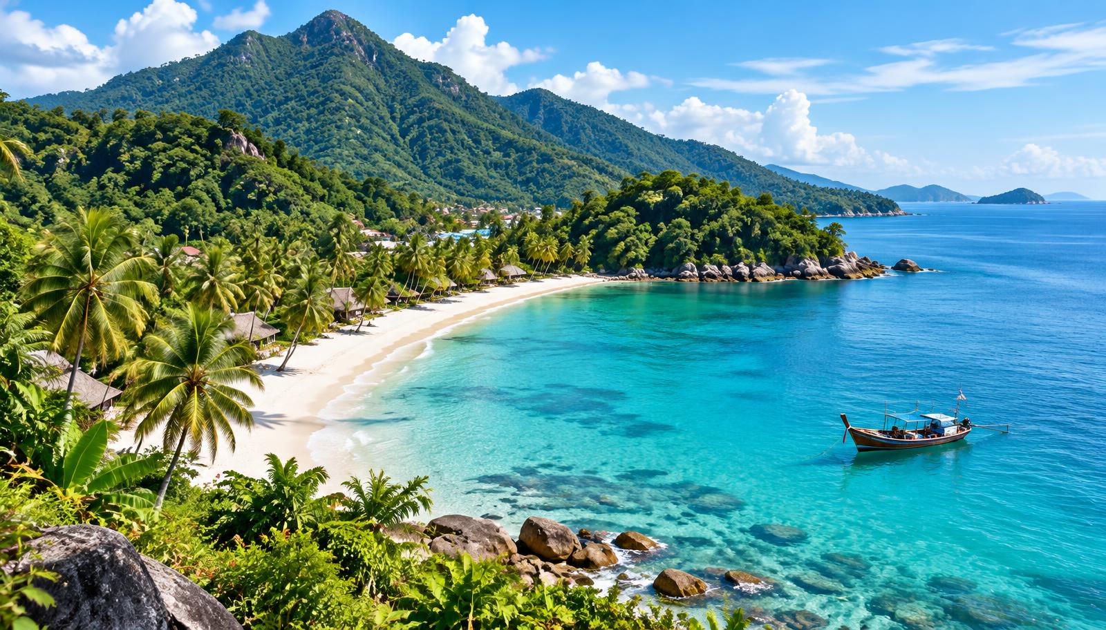
Thailand · Trat · Eastern Gulf of Thailand
Jungle-covered mountains, west-coast beaches and fishing villages on an island near Trat.
Plan your trip
Your destination guide
Koh Chang
Forest waterfall reached on foot; conditions and access depend on weather.
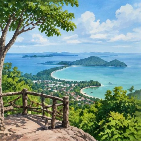
Koh Chang
West-coast viewpoint overlooking small offshore islands.
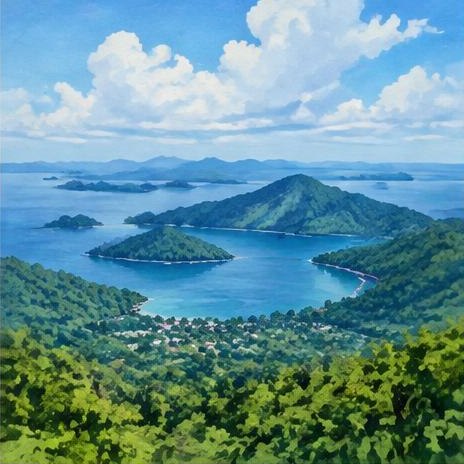
Koh Chang
Protected island and marine landscapes; check park guidance before visiting.
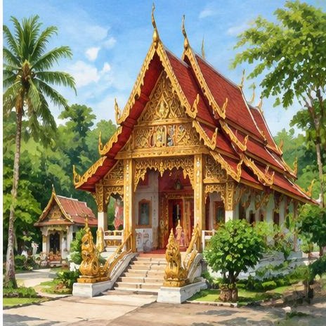
Koh Chang
Buddhist temple in the quieter southeast village area.
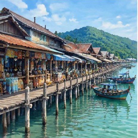
Koh Chang
Small shops and seafood restaurants around the stilted fishing village and pier.
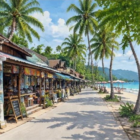
Koh Chang
West-coast village with small shops, beachwear and everyday services.
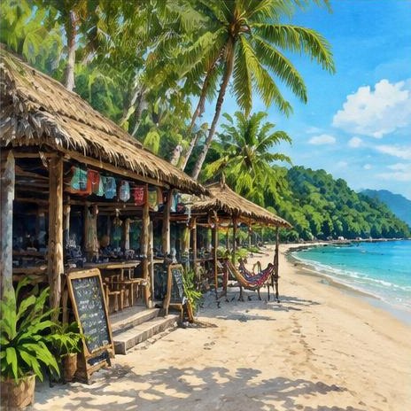
Koh Chang
Backpacker area with bars and casual restaurants.
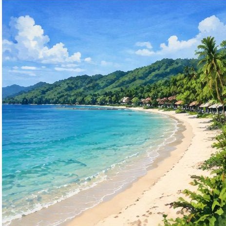
Koh Chang
Popular sandy beach with nearby dining and resorts.
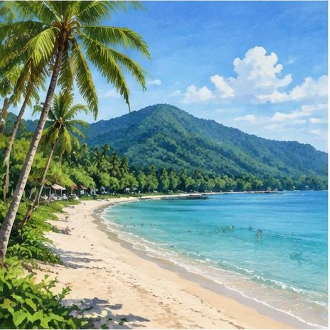
Koh Chang
Long beach divided by an estuary, with quieter stretches.
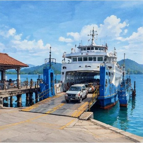
Koh Chang
Main island vehicle-ferry arrival area; confirm current operator schedules.
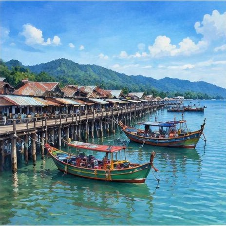
Koh Chang
Departure area for selected diving and island excursions.
Mainland · Trat
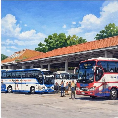
Mainland coach terminal for services to Trat, from where ferries and island transfers reach Koh Chang.
Loading Koh Chang map…
Map locations are approximate. Nearby excursions are labelled; check venue access, opening days and sea conditions before visiting.
Don’t miss
The island’s most popular sandy beach, with nearby dining and resorts.
A forest waterfall reached on foot; conditions depend on the weather.
A jungle waterfall on the quieter east coast; check access and conditions.
A long beach divided by an estuary, with quieter stretches.
A west-coast viewpoint overlooking small offshore islands.
A stilted fishing village and pier with small shops and seafood restaurants.
A backpacker beach village with bars and casual restaurants.
Protected island and marine landscapes; check park guidance before visiting.
A Buddhist temple in the quiet southeast village area.
Small neighbouring islands reached by boat from Bang Bao.
Heritage & traditions
A village temple in the quiet southeast.
A fishing village on stilts around its long pier.
Village life around the sheltered southeast bay.
An east-coast waterfall linked to historic royal visits; check access.
A mangrove bay fished and rowed by local families.
Small plantations that fed island life before tourism.
Island cooking schools teaching local dishes; check reviews before booking.
Morning merit-making with monks in the island villages.
Island celebrations of Thailand’s water and lantern festivals.
An inland valley village north of White Sand Beach.
Koh Chang is a mountainous island within the Mu Ko Chang protected archipelago. Most resort beaches lie along the west coast; the east and southeast are quieter, with fishing villages and mangroves.
November to April is generally drier. May to October can bring heavy rain and rough seas. Waterfall trails can be slippery and ferry or excursion schedules may change.
Bang Bao and Salak Phet reflect island fishing traditions. Respect village life, temple grounds and marine habitats; do not touch coral or feed wildlife.
Cover shoulders and knees, remove shoes where requested and speak quietly. Ask before photographing people or ceremonies.
White Sand Beach has restaurants and beach bars; Lonely Beach village has a livelier backpacker scene. Other coastal areas are quieter, especially outside the main season.
Seafood restaurants feature around Bang Bao and Salak Phet. West-coast villages have casual Thai and international dining, with small shops rather than major shopping centres.
Travel from Bangkok by bus or van to the Trat coast, followed by a ferry and island transfer. Confirm the mainland pier and last sailing before setting off; avoid relying on older ferry timetables.
Trat Airport (TDX) is on the mainland, not on Koh Chang. Reaching the island requires a road transfer and ferry; allow time for both.
Shared songthaews and hired drivers cover the main coastal roads. Steep bends and wet surfaces make riding challenging. Do not assume the southern east and west roads join into a complete island loop.